Ground verification underway; georeferencing completed for maps of 95,373 villages across the state
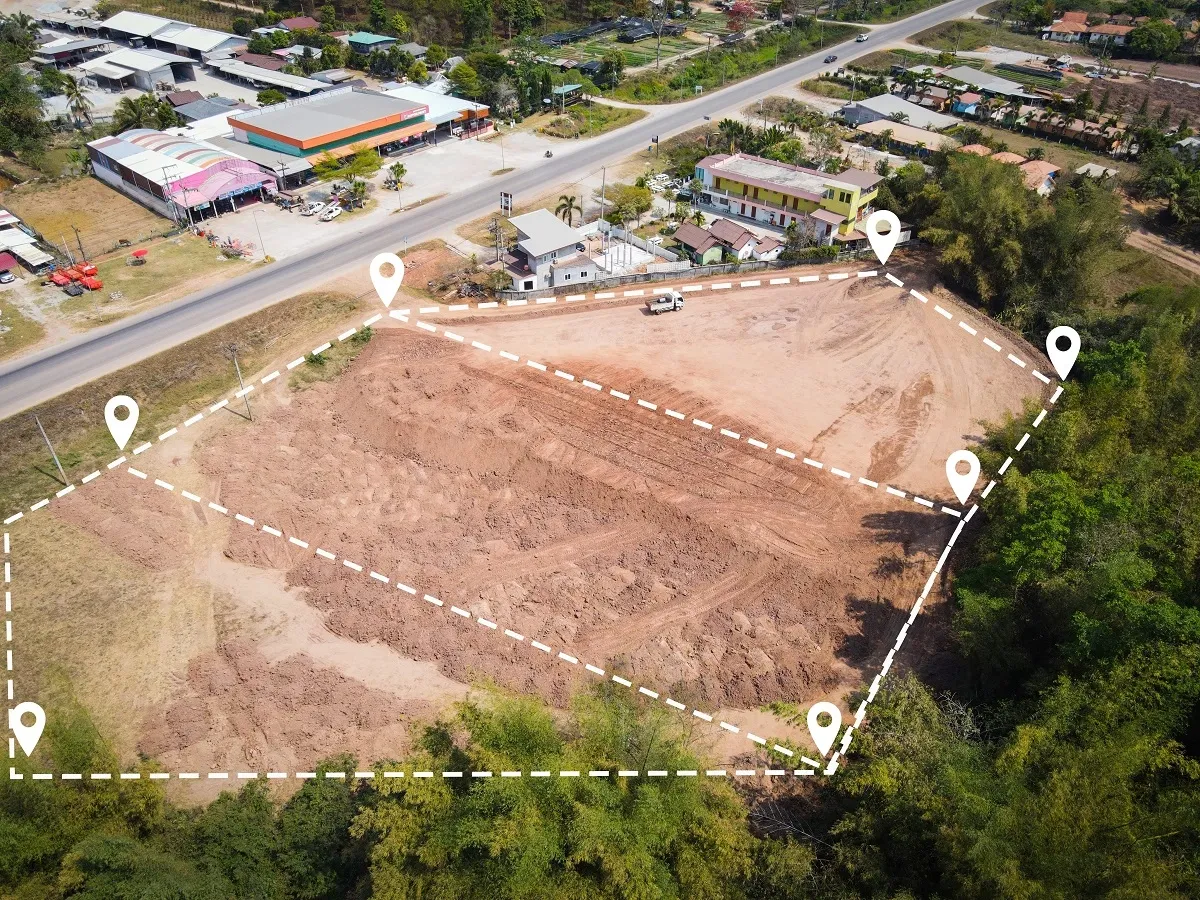
Lucknow, November 2026 : The NAKSHA project in Uttar Pradesh is making progress, with drone surveys completed in 10 urban local bodies and ground verification currently underway. The initiative aims to modernise maps of urban and rural areas using advanced technology and make land records more accurate and transparent.
The Uttar Pradesh Revenue Board presented a progress report on the National Geospatial Knowledge-Based Urban Habitat Land Survey (NAKSHA) pilot project at a meeting of the State-Level Monitoring Committee.
Being implemented under the land records modernisation programme, the project covers 10 urban local bodies: Anupshahr, Chitrakoot Dham, Chunar, Gorakhpur, Hardoi, Jhansi, Nawabganj, Puranpur, Tanda and Tilhar. These urban local bodies have a combined population of approximately 10.70 lakh.
The project covers a field survey area of 240.20 square kilometres and an aerial survey area of 367.33 square kilometres. The drone surveys have employed advanced technologies, including nadir cameras and oblique camera systems equipped with five cameras.
As part of the preparatory work, a State-Level Monitoring Committee under the chairmanship of the Chief Secretary has been constituted, along with monitoring committees at the Revenue Board, district and urban local body levels.
Training has also been completed for 24 master trainers at the National Institute of Geospatial Science and Technology (NIGST) in Hyderabad and the Lal Bahadur Shastri National Academy of Administration (LBSNAA) in Mussoorie. Training for members of the ground-truthing teams from the Revenue and Urban Development departments has been completed at KTS in Hardoi.
For ground verification, 143 rovers have been procured, and CORS network login credentials have been created for all 143 devices. Property tax-related data has also been uploaded to the NAKSHA portal through an application programming interface (API). GIS personnel have been appointed to the State Project Monitoring Unit.
The total estimated cost of the project is approximately Rs 14.76 crore. Of this amount, the Department of Land Resources has so far released Rs 7.38 crore as partial funding.
Survey identifies more plots than originally estimated
According to the progress report, feature extraction from drone data has resulted in the identification of approximately 5,54,439 plots for ground verification. This is significantly higher than the project's original estimated target of around 2,03,105 plots.
The actual workload has therefore turned out to be five to six times higher than initially anticipated, placing additional demands on the survey and verification teams.
The implementation process has also faced several challenges, including delays in procuring rovers, connectivity issues, delays in generating CORS IDs through the Survey of India, difficulties in forming field teams and interruptions caused by rainfall.
The project had allocated only four months for ground-truthing. Each field team comprised one representative each from the Revenue and Urban Development departments, along with two local personnel from technical institutions.
The pilot project's current tenure is scheduled to end on March 31, 2027.
Georeferencing completed for 95,373 village maps
The meeting also reviewed the progress of georeferencing village maps across Uttar Pradesh.
According to the Revenue Board, georeferencing has been completed for maps of 95,373 villages out of the state's total 1,08,893 villages.
A further 8,346 village maps have been digitised but are yet to undergo georeferencing.
As per the status report dated November 4, 2026, 4,523 of these villages had already been handed over to RSAC-UP on October 20. Verification by the respective districts is pending for 2,490 villages.
Meanwhile, the maps of 1,049 villages are undergoing various stages of digitisation, printing, correction and submission. Maps for the remaining 284 villages are available with the Revenue Board.
The progress reflects the ongoing effort to update land-related maps and records through digital and geospatial technologies.
Suggestions to extend the project beyond March 2027
Several suggestions were discussed at the meeting regarding the project's future and its long-term implementation.
It was proposed that the project should continue beyond March 2027 in the interest of the state and that its responsibility should subsequently be transferred to the Urban Development Department.
The meeting also discussed shifting the Madhya Pradesh State Electronics Development Corporation (MPSEDC) portal to the State Data Centre. The proposal is intended to support the project's future operational requirements.
Another suggestion was to expand the initiative by including additional urban local bodies in view of future demand.
The Urban Development Department was also advised to prepare the necessary legal framework for issuing urban property cards. Such a framework would provide the institutional and legal foundation for the proposed property documentation system.
The NAKSHA initiative is part of Uttar Pradesh's broader effort to modernise land records through digital mapping, drone-based surveys and ground verification. The completion of drone surveys in the 10 selected urban local bodies and the georeferencing of maps covering more than 95,000 villages mark important stages in the state's land-record modernisation programme.