
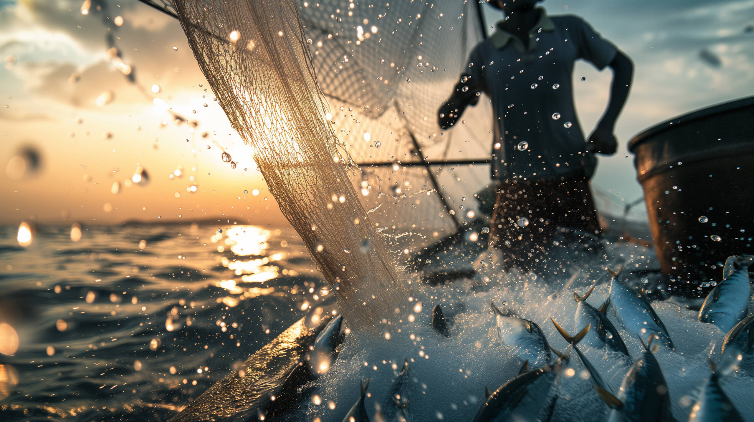
How AI and satellite data are helping in ridding off illegal fishing in the seas.
What is acclaimed to be a manifestation of scientific discovery, the Satellite radar imagery, in conjunction with artificial intelligence (AI), has tracked down illegal fishing to show that efforts to protect the ocean’s biodiversity are working. However, the data’s collected and sent were further evaluated by Juan Mayorga – a scientist with National Geographic Pristine Seas.
In her statement while validating the studies, Juan Mayorga reiterated, “The ocean is no longer too big to watch. Of 1,380 Marine-Protected Areas (MPAs), 78.5% had no commercial fishing activity at all, according to the satellite images, which are able to record fishing trawlers that are running ‘dark’. With cutting-edge satellites and AI, we’re making illegal fishing visible and proving that strong marine protections work”.
Intensive fishing is causing huge damages to ocean ecosystems, with many fish stocks beginning to dwindle. In an effort to save some of these ecosystems, more than 16,600 MPAs have been established around the world. Those in territorial waters are managed by the governments of those territories, while those in international waters are maintained either by collaborations between nations, or by UNESCO (the United Nations Educational, Scientific and Cultural Organisation).
Different MPAs operate under different rules depending upon which nation they belong to. Some ban fishing all year around, while others prohibit it at certain times of year such as breeding times, or permit fishing just for local communities rather than commercial trawling. Now, the new data reaffirms that MPAs are doing the job that they were designed to do. “We found that MPAs with strict legal fishing bans work better than critics claim”, Jennifer Raynor, a professor of natural resource economics at the University of Wisconsin, Madison, said in another statement.
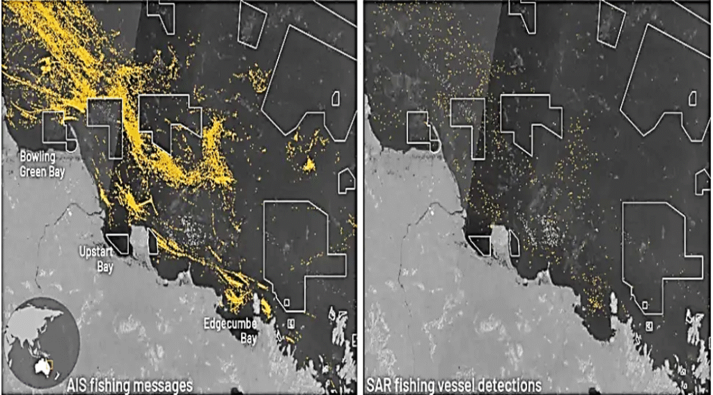
Ships are meant to be detectable by a GPS-based transponder, which is monitored by Automatic Identification Systems, or AIS. However, the AIS service is not 100% reliable; for example, there are areas of poor reception in Southeast Asia, while vessels conducting illegal fishing will often run dark with their transponder switched off. The satellite imageries, are principally from the European Space Agency’s family of Sentinel 1 Earth-observation satellites. These satellites are armed with synthetic aperture radar, which means that they can cover large swathes of the surface relatively quickly. By analysing the satellite images with AI algorithms developed by the non-profit Global Fishing Watch, Raynor and her team were able to identify any sea vessel larger than 15 meters (49 feet).
The researchers found that MPAs are successfully deterring illegal fishing. Of the 1,380 MPAs included in the study, 78.5% experienced no commercial fishing activity, and where illegal fishing was detected, it averaged less than 24 hours per year for 82% of MPAs. However, all that glitters are not always Gold! On the contrary, some MPAs are still being heavily fished. These include the Chagos Marine Reserve in the Indian Ocean and the MPA around the South Georgia and South Sandwich islands, which is managed by the United Kingdom. Sadly, the Great Barrier Reef Marine Park off the coast of Australia is also still heavily fished. Each of these MPAs suffered approximately 900 hours of illegal fishing every year.
THE CLOUD HAVE A SILVER LINING –
AIS system have fallen foul to 90% of this illegal fishing, which demonstrated to be missing, and it was only the use of satellite imagery and AI that identified how much illegal fishing was ongoing in these regions.
“No single dataset can solve the challenge of monitoring fishing activity at sea; each has its blind spots. But when we combine them, their power emerges. By fusing AIS tracking with satellite radar imagery and AI, we are now much closer to the full picture of human activity across the ocean. That’s especially important in the crown jewels of the ocean — the world’s most strongly protected areas — where the stakes for enforcement and biodiversity are highest”, said Mayorga.
The combined information from AIS and Sentinel-1 can better help law enforcement track down illegal fishing by targeting ships running dark in MPAs.
“This is critical for reaching the Global Biodiversity Framework’s 30 by 30 target, which aims to protect 30% of oceans by 2030. MPAs can help regenerate fish populations, which creates strong incentives for illegal fishing, and yet that activity was mostly absent. This is good news for marine conservation”, said Jennifer Raynor.
Team Maverick


Deschamps Admits France Fell Short as Spain End World Cup Dream with 2-0 Semifinal Win
Arlington (Texas), July 2026 : France head coach Didier Deschamps admitted his side was ou…

Deschamps Admits France Fell Short as Spain End World Cup Dream with 2-0 Semifinal Win
Arlington (Texas), July 2026 : France head coach Didier Deschamps admitted his side was …