
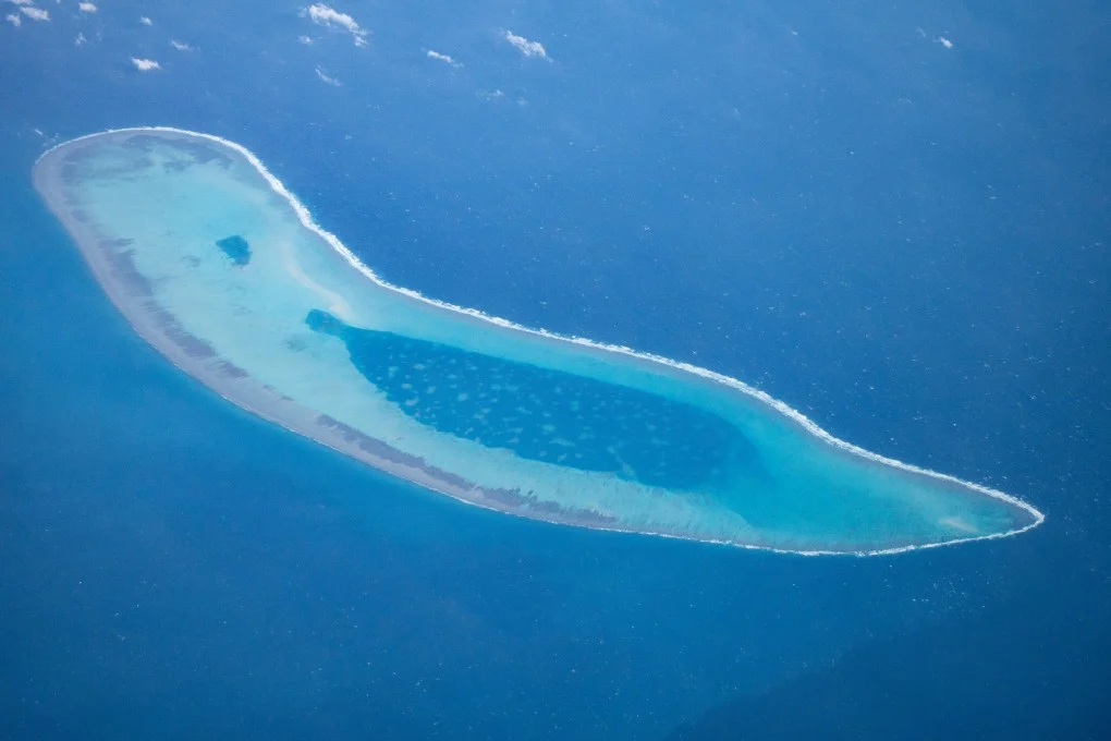
China stealthily turning Paracel Islands into submarine kill zone in the South China Sea.
Sept 2025 : Four years after the USS Connecticut, one of the most advanced nuclear submarines in the US Navy, slammed into an uncharted seamount in the South China Sea, the site of that near-catastrophic grounding may now become a deadly minefield for future naval battles.
Chinese military scientists are proposing to transform the dangerous underwater terrain where the Connecticut crashed into a strategically engineered kill zone, packed with powerful mines designed to exploit the very same acoustic blind spots that made the area so treacherous for the American submarines. In a new study, researchers from the People’s Liberation Army Dalian Naval Academy and Harbin Engineering University (HEU) reveal how the rugged seamounts around the Paracel Islands – dubbed “acoustic shadow zones” can help intelligent mines evade detection and selectively target enemy vessels.
These sonar dead zones, mostly around the peaks and leeward slopes of submerged mountains where sound waves fracture, reflect or vanish entirely due to complex undersea topography, are ideal hiding spots for China’s underwater weapons that could challenge US dominance in undersea warfare, according to the researchers. “Research on the site selection of underwater target deployment can help identify optimal locations on the sea floor, enhance the concealment of deployed assets and ensure they are difficult to detect”, wrote the team led by associate professor Ma Benjun with the HEU, which built China’s first submarine. Planting sea mines precisely within these sonar dead zones “plays a crucial role in ensuring maritime security”, Ma and his colleagues added.
The said move by the Chinese administration may be prompted to fortify its defences in the disputed South China Sea, observers have warned, after new satellite images showed Vietnam had stepped up island-building in the Spratly Islands. Vietnam occupies the most features on the contested Spratly’s, which China claims as the Nansha Islands. Rival claimants over all or part of the archipelago include Malaysia, the Philippines and Brunei.
Satellite images released on August 22 by the US think tank Centre for Strategic and International Studies (CSIS) showed all 21 Vietnamese-occupied features had been expanded to include artificial land. Vietnam is on track to surpass China in Spratly’s land reclamation efforts, according to the CSIS Asia Maritime Transparency Initiative. It said 11 of these features were only the site of pillboxes, or small concrete structures commonly used by militaries, when Vietnam launched its reclamation drive four years ago.
Infrastructure such as munitions storage was taking shape on reefs where dredging activities were nearing completion, CSIS said. Maritime analysts said the ongoing work signalled Vietnam’s resolve to solidify its claims, which would offset some of the strategic advantages Beijing secured during its own earlier wave of artificial island construction. While the Vietnamese actions were not likely to alter the strategic equation, they might spur Beijing to upgrade its own defence posture, the observers cautioned.
The Spratly’s, a scattering of reefs and islets, are one of the most widely contested features in the South China Sea. In addition to Vietnam, fellow Association of Southeast Asian Nations’ members the Philippines, Malaysia and Brunei all hold competing claims, while Beijing asserts sovereignty over nearly the entire waterway.
Team Maverick


Hockey Junior Men’s Nationals: Rajasthan, Telangana, Puducherry Shine in Coimbatore
Coimbatore, July 2026 : Hockey Rajasthan, Telangana Hockey and Le Puducherry Hockey regist…

Hockey Junior Men’s Nationals: Rajasthan, Telangana, Puducherry Shine in Coimbatore
Coimbatore, July 2026 : Hockey Rajasthan, Telangana Hockey and Le Puducherry Hockey registered impressive …