Mapping And Identification Of Existing And Potential Wetlands In Mizoram Using Geospatial Technology By Mirsac Submitted To Agriculture Department
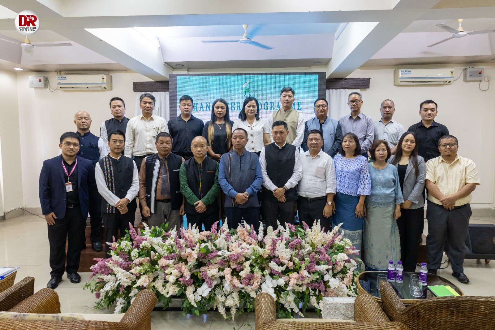
Aizawl : The Aijal Club, the Mizoram Remote Sensing Application Centre (MIRSAC) handed over a report and map to the Agriculture & Farmers Welfare Department. The report, prepared using geospatial technology, identifies both existing and potential wetland areas across Mizoram. The occasion was graced by Pu PC Vanlalruata, Minister of Agriculture & Farmers Welfare Department, as the chief guest. The report and maps were formally submitted by Er. H. Lalsawmliana, Member Secretary of MIRSAC, on behalf of the team that carried out the study.
In his remarks, the chief guest expressed appreciation for MIRSAC’s efforts in using advanced space technology to identify and assess wetland areas across Mizoram. He stated that this innovative use of modern technology marks a significant step forward for the state. The Minister emphasized that the report and maps will serve as valuable tools for the government in enhancing agricultural planning, increasing rice and fish production, and improving food security.
The programme was chaired by Pu Lalmalsawma Pachuau, Secretary of the Planning & Programme Implementation Department and Vice Chairman of MIRSAC. He acknowledged the support of the North Eastern Council (NEC) and commended MIRSAC for their efficient and timely completion of the study. Pi Hmingthanpuii, Principal Scientist at MIRSAC, provided an overview of the methodology and key findings, explaining that the assessment employed detailed satellite imagery and GIS techniques to map wetland potential across different terrain types. She noted that through this study, Mizoram’s current Wet Rice Cultivation (WRC) area was estimated at 7,532.86 hectares.
A vote of thanks was delivered by Pu Robert Lalchhanhima Sailo, Senior Scientist at MIRSAC, who expressed gratitude to all the stakeholders and departments involved.
During the programme, MIRSAC scientists also provided training and orientation to officials from the Agriculture Department and related agencies on how to effectively utilize the maps and data provided.
Representatives from multiple government departments attended the event, including the Planning & Programme Implementation Department, Agriculture & Farmers Welfare Department, Horticulture Department, Minor Irrigation Department, Rural Development Department, Public Health Engineering Department, Directorate of Geology & Mineral Resources, Sericulture Department, Urban Development & Poverty Alleviation Department, Land Revenue & Settlement Department, Disaster Management & Rehabilitation Department, Soil & Water Conservation Department, MISTIC, and the Directorate of Science & Technology. The event also featured interaction sessions and discussions on how to integrate the findings into departmental planning and development programmes.


PM Modi, Australian Opposition Leader Angus Taylor Reaffirm Bipartisan Commitment to Stronger India-Australia Ties
Melbourne, July 2026 : Prime Minister Narendra Modi on Friday met Australian Opposition Le…
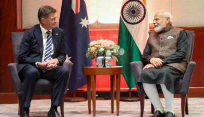
PM Modi, Australian Opposition Leader Angus Taylor Reaffirm Bipartisan Commitment to Stronger India-Australia Ties
Melbourne, July 2026 : Prime Minister Narendra Modi on Friday met Australian Opposition Leader …